What is GPS?
GPS, or a global positioning system, is a technology that allows receivers on Earth to determine their location and track movement. It does this by receiving signals from approximately thirty satellites orbiting the planet.
This global satellite system provides geolocation and time information to a GPS receiver almost anywhere on the Earth for free, considering there are no obstacles and at least three GPS satellites available.
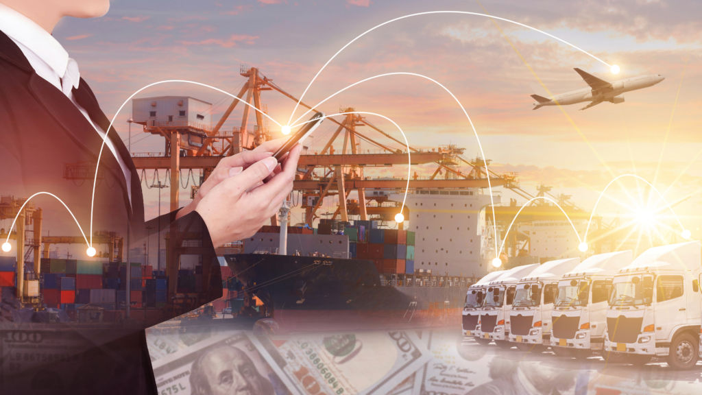
Supply chain and logistics are one of many industries that use GPS receivers. Managers in these fields can use GPS technology to improve efficiency and accuracy in their operations.
In this article, we’ll provide an introduction to GPS, its pros and cons, and discuss how it can be used in the supply chain and logistics industries.
How does GPS work?
GPS works by triangulating the device/user’s position relative to three or more GPS satellites. Each satellite transmits a signal that includes its location and the current time. By comparing the time stamps on the signals from different satellites, the GPS receiver can calculate its distance from each satellite.
With these distances in hand, it can then use trilateration to pinpoint its exact location on the globe. GPS is used in everything from navigation apps to GPS-enabled devices like phones, cars, and asset trackers. Thanks to GPS, we can always know where we are – no matter where we are in the world.
GPS works through a technique called trilateration. Used to calculate location, velocity, and elevation, trilateration collects signals from satellites to output location information. It is often mistaken for triangulation, used to measure angles, not distances.
What are the uses of GPS?
GPS is a powerful and dependable tool for businesses and organizations in many different industries. Surveyors, scientists, pilots, boat captains, first responders, and workers in mining and agriculture are just some people who use GPS daily for work. They use GPS information to prepare accurate surveys and maps, take precise time measurements, and track position, location, and navigation. As long as you’re outside, GPS works at all times and in almost all weather conditions.
There are five main uses:
- Location: Determining a position.
- Navigation: Getting from one location to another.
- Tracking: Monitoring objects or personal movement.
- Mapping: Creating maps of the world.
- Timing: Making it possible to make precise time measurements.
Geolocation is revolutionizing the industrial manufacturing industry
GPS tracking systems have become increasingly commonplace in industrial manufacturing settings in recent years. GPS-enabled devices are able to provide geolocation data for a wide range of non-powered assets, from raw materials and finished products to tools and equipment.
This data can be used to optimize industrial processes in a number of ways. For example, it can help to ensure that raw materials are being used efficiently and that finished products are being delivered to the correct destination in a timely manner. In addition, GPS data can be used to monitor the maintenance and repair of equipment, helping to prevent unplanned downtime.
Ultimately, GPS tracking systems provide an invaluable source of data for industrial manufacturers looking to improve their operations.
Other specific examples of use cases include:
- Transportation: Logistics companies implement telematics systems to improve driver productivity and safety. A vehicle tracker can be used to support route optimization, fuel efficiency, driver safety, and compliance.
- Construction: From locating equipment to measuring and improving asset allocation, GPS enables companies to increase return on their asset.
- Emergency response: During an emergency or natural disaster, first responders use GPS for mapping, following and predicting weather, and keeping track of emergency personnel.
- Entertainment: GPS can be incorporated into games and activities like Geocaching.
- Health and fitness: Smartwatches and wearable technology can track fitness activity and benchmark it against a similar demographic.
The pros and cons of GPS technology
The biggest advantage of GPS is its accuracy. You can track your assets with GPS very accurately since it can precisely locate something up to five meters, it works outdoors everywhere, and no specific infrastructure is required.
The best results are obtained when the GPS antenna has a clear sky view. On the contrary, when the GPS signal is reflected or obstructed, it can take much longer or become impossible to get an accurate position.
Time-to-first-fix:
Time-to-first-fix (TTFF) measures the time required for a GPS navigation device to acquire satellite signals and navigation data and calculate a position solution (called a fix).
A cold fix determines a position when no satellite data is available, for example, after a period of inactivity. When the tracking device already has acquired satellite positions because it is constantly tracking, it can find an accurate position, and this is a hot fix. The longer it takes to get a GPS fix, the more energy is consumed.
A battery-powered tracking device that has to work for multiple years will not frequently determine positions; it has to do cold fixes. Your smartphone that needs recharging after one day, on the other hand, can do hot fixes as it has the luxury to do GPS fixes frequently.
The downside is that this geolocation technology requires quite some power because it communicates with several satellites around the Earth. This can take time, especially in the case of a cold fix. Other disadvantages are that long-distance communication can be interrupted by weather-related situations or other factors:
- Physical obstructions: Arrival time measurements can be skewed by large masses like mountains, buildings, trees, etc.
- Atmospheric effects: Ionospheric delays, heavy storm cover, and solar storms can affect GPS devices.
- Numerical miscalculations: This might be a factor when the device hardware is not designed to specifications.
- Artificial interference: These include GPS jamming devices or spoofs.
As the signals get blocked by the roof of the building structure, GPS doesn’t work indoors, so it can be used solely as an outdoor positioning technology. For indoor positioning, GPS can be combined with WiFi and Bluetooth.
GPS in short:
Pros (+)
- Accurate outdoor positioning (up to five meters)
- Works everywhere outdoors
- No infrastructure required
Cons (-)
- High energy use
- Can be interrupted by weather-related situations
- Doesn’t work indoors
GPS localization: how do we use it at Sensolus?
The tracker gets the location information from the GPS satellites it connects to. This works best in outdoor environments. The energy consumption for GPS location tracking is very high (compared to other methods), however, the Sensolus trackers work for 8 years without battery replacements.

Are you looking to optimize your supply chain and logistics operations?